About
Nick

NICK
I grew up farming in Suffolk, in a family that has worked this land for generations. I know what it costs when a crop problem or disease goes unnoticed for three weeks, and what it means to make decisions across hundreds of acres without enough information. Lux Drone Systems exists to close that gap, bringing drone technology together with real farming knowledge, so the data actually means something for your land or your building.
I hold drone surveying and thermal imaging licences, and I operate under SAS's authorisation for spray work. Every survey is flown within CAA requirements and covered by commercial third-party insurance.
I am not a marketer, or a salesman, and I do not want to be one. If you would rather have a conversation than fill in a form, that suits me fine, give me a call.

QUALIFIED. CERTIFIED. COVERED.
CAA CREDENTIALS
Fully CAA-qualified, every survey is planned and flown within the rules that apply to commercial drone work, whether that's agricultural or thermal. Lux Drone Systems is one of a small number of operators in the UK currently licensed to fly commercial thermal imaging. Every flight is planned properly before it ever leaves the ground.
INSURANCE
Coming from a farming family, I know how important it is to have the right insurance in place before anyone sets foot, or a drone, on your land. I carry full commercial third-party insurance, covering both agricultural surveying and thermal imaging work. That protects you as much as it protects me. Details are available on request.
The Types Of Drones I Use
Mavic 3 Multispectral
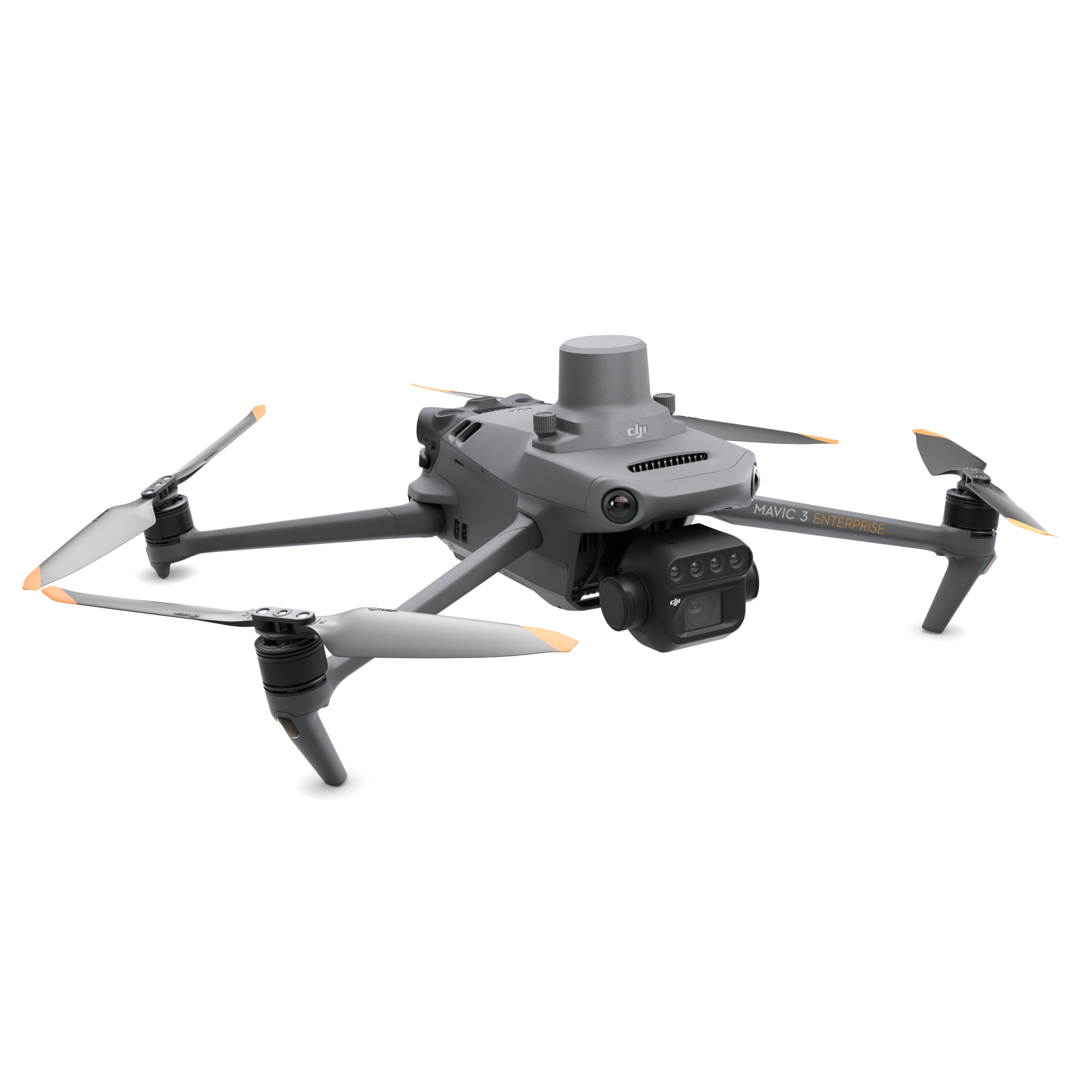
Net Weight (with propellers and RTK module):951 g
Maximum Takeoff Weight:1,050 g
Dimensions (Folded without propellers):223 × 96.3 × 122.2 mm
Dimensions (Unfolded without propellers):347.5 × 283 × 139.6 mm
Maximum Flight Time:42 minutes
Image Sensor:4/3-inch CMOS, effective pixels: 20 MP
· Lens:FOV 84°, 24 mm equivalent focal length, aperture f/2.8–f/11 (focus 1 m to ∞)
Shutter:Mechanical shutter
Mavic 3 Thermal
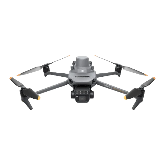
Net Weight (with propellers and RTK module):951 g
Maximum Takeoff Weight:1,050 g
Dimensions (Folded without propellers):223 × 96.3 × 122.2 mm
Dimensions (Unfolded without propellers):347.5 × 283 × 139.6 mm
Maximum Flight Time:42 minutes
Image Sensor:4/3-inch CMOS, effective pixels: 20 MP
· Lens:FOV 84°, 24 mm equivalent focal length, aperture f/2.8–f/11 (focus 1 m to ∞)
Shutter:Mechanical shutter
Thermal Imager:Uncooled VOx Microbolometer
Resolution:640 × 512 px
Pixel Pitch:12 μm
Frame Rate:30 Hz
Equivalent Focal Length:40 mm (DFOV: 61°)
Aperture:f/1.0
Focus Range:5 m to ∞
Thermal Sensitivity (NETD):≤ 50 mK @ F1.1
Temperature Measurement Accuracy:±2°C or ±2%
Agras T100
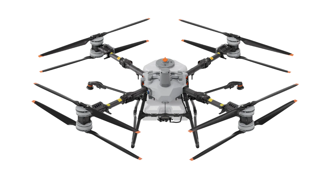
Spray Tank Capacity:100 L (Standard flow rate of 30 L/min; up to 40 L/min with an optional 4-sprinkler setup)
Spreading Tank Capacity:150 L (Max flow rate of up to 400 kg/min)
Lifting Payload:100 kg (220 lbs) for heavy-lift transport tasks
Droplet Size:50 to 500 μm (via dual atomization centrifugal sprinklers)
Spray Swath Width:5 to 13 meters (depending on operational conditions)
Max Flight Speed:20 m/s (approx. 72 km/h / 45 mph)
Dimensions (Unfolded):3,220 × 3,224 × 975 mm
Dimensions (Folded):1,105 × 1,265 × 975 mm
Diagonal Wheelbase:2,330 mm
Max Take-Off Weight:~175–177 kg (spraying/spreading)
Hover Accuracy (RTK Enabled):±10 cm (Horizontal / Vertical)
Obstacle Avoidance System:Equipped with LiDAR, a Penta-Vision system, and millimeter-wave radar for 360-degree detection
Operating Temperature:0 °C to 40 °C
Max Wind Resistance:< 6 m/s